New Southgate Station to Palmers Green Station
Share New Southgate Station to Palmers Green Station on Facebook
Share New Southgate Station to Palmers Green Station on X (formerly Twitter)
Share New Southgate Station to Palmers Green Station on Linkedin
Email New Southgate Station to Palmers Green Station link
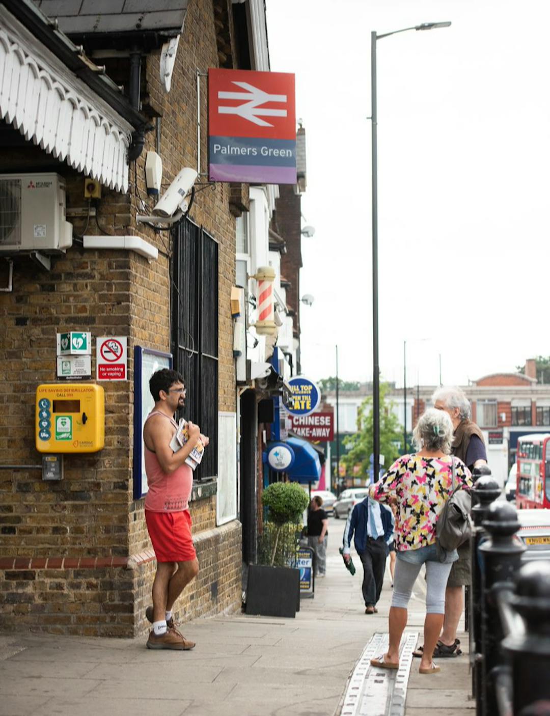
Enfield Council, as part of the Journeys and Places programme, is proposing a new walking and cycling route linking New Southgate Station to Palmers Green Station. This route aims to create safer, greener, and more accessible streets, encouraging more people to walk, wheel, and cycle for everyday journeys.
This project forms part of a wider network of walking and cycling routes across Enfield, supporting sustainable travel and reducing reliance on cars. It will help address local concerns such as speeding, lack of formal crossing facilities, lack of cycling facilities, and unsafe junctions, while creating opportunities for safer and more pleasant streets.
The proposed route would:
- Connect Cycleway 20 with New Southgate and Palmers Green railway stations, as well as Arnos Grove Underground Station.
- Run along the south-east boundary of the Fox Lane Area Quieter Neighbourhood, improving local connectivity.
- Provide a connection to the London Borough of Barnet via Arnos Park.
- Provide a connection to existing cycling infrastructure along the A406 via Wilmer Way.

Page last updated: 08 Dec 2025, 10:15 AM
Documents
-
 Maps and Drawings
-
Key documents
-
Project communication
-
 NSS to PGS - Concept - Project Overview Presentation (2.08 MB) (pdf)
-
New Southgate Station to Palmers Green Station Concept Design Information Boards (15.8 MB) (pdf)
-
New Southgate Station to Palmers Green Station - Letter for Concept Design (458 KB) (pdf)
-
NSS to PGS - Letter distribution (886 KB) (png)
-
Early engagement letter to residents (248 KB) (pdf)
-
-
Reports


Videos
-

-
 Recording of webinar held Monday 17 April 2023 on the New Southgate Station to Palmers Green Station Walking and Cycling Route.
Who's Listening
-
Enfield Council