Share Share Your Feedback on the New Southgate Station to Palmers Green Station Walking and Cycling Route Design on Facebook
Share Share Your Feedback on the New Southgate Station to Palmers Green Station Walking and Cycling Route Design on X (formerly Twitter)
Share Share Your Feedback on the New Southgate Station to Palmers Green Station Walking and Cycling Route Design on Linkedin
Email Share Your Feedback on the New Southgate Station to Palmers Green Station Walking and Cycling Route Design link
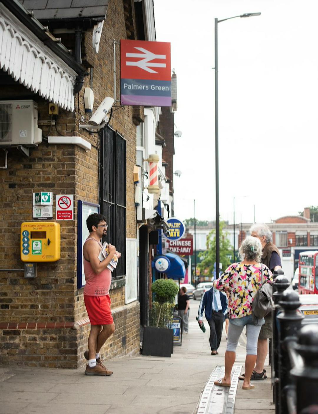
We’re inviting your feedback on concept designs for the New Southgate Station to Palmers Green Walking and Cycling Route. This project is part of our Journeys and Places programme, which aims to create safer, greener, and more enjoyable streets for everyone.
In Spring 2023, we engaged the community to gather ideas and identify local issues. We heard that:
- Speeding on several roads in the area creates an unsafe environment.
- Lack of segregated cycling facilities forces mixing with traffic.
- Dangerous junctions for people walking and cycling.
- Opportunities exist to make the area safer and more pleasant.
You can view the concept plan map in the ‘Documents’ tab on this page. Key features include:
- Improved crossings at key locations including Station Road, Broomfield Lane, and Wilmer Way.
- On-carriageway cycling on low-traffic streets such as Woodland Road and Arnos Road.
- Segregated cycle lanes on Bowes Road and Wilmer Way.
- Southbound bus gate on Palmers Road to reduce traffic volumes, creating a safer environment for cyclists to mix with general traffic.
- One-way system with cycling contra-flow on Ashridge Gardens.
- Speed calming on Broomfield Avenue, Cranford Ave, and Ashridge Gardens.
- Improved cycling facilities through Arnos Park.
- Connections to Cycleway 20 via Fox Lane.
Have your say
We invite you to view the proposed plan and get involved in one or more of the following activities and events:
-
Thursday 20 November, 4–6 pm @ Palmers Green Library (Community Room), Broomfield Lane N13 4EY
-
Saturday 22 November, 10 am–12 pm @ Our Lady of Lourdes Catholic Primary School, The Limes Ave, Arnos Grove N11 1RD
You can find out more about the project, watch a video explaining the proposal, and share your feedback by completing the online survey - all available on this project page.
Subscribe to this page for updates and complete the online survey to share your views.
Next steps
Your feedback will help shape the final design, following which we will proceed to statutory consultation subject to further funding.
Share February 2024 - Project Update on Facebook
Share February 2024 - Project Update on X (formerly Twitter)
Share February 2024 - Project Update on Linkedin
Email February 2024 - Project Update link
Previously we engaged the community on the New Southgate Station to Palmers Green Station Walking and Cycling Route project. Residents and other stakeholders shared their ideas and issues to inform a future design for this route. Thank you to those who engaged with us on this project so far. Enfield Council currently does not have any further funding to progress the project at this stage. Should further funding be secured to progress the project, this page will be updated and published in the Journeys and Places Hub. Residents will be notified of any future engagement and consultation opportunities.
Previously we engaged the community on the New Southgate Station to Palmers Green Station Walking and Cycling Route project. Residents and other stakeholders shared their ideas and issues to inform a future design for this route. Thank you to those who engaged with us on this project so far. Enfield Council currently does not have any further funding to progress the project at this stage. Should further funding be secured to progress the project, this page will be updated and published in the Journeys and Places Hub. Residents will be notified of any future engagement and consultation opportunities.
Share July 2023 - Early Engagement Summary Report on Facebook
Share July 2023 - Early Engagement Summary Report on X (formerly Twitter)
Share July 2023 - Early Engagement Summary Report on Linkedin
Email July 2023 - Early Engagement Summary Report link
An Early Engagement Summary Report has been completed and uploaded to the 'Project communication' folder located in the documents tab. This report can be found here. These findings will be considered throughout the design process. Following the completion of the feasibility study, the council will look to secure funding to progress the design as the advancement of this project is subject to funding.
We would like to thank the participants for providing feedback that will help us throughout the design process.
Share Webinar 17 April 2023 on Facebook
Share Webinar 17 April 2023 on X (formerly Twitter)
Share Webinar 17 April 2023 on Linkedin
Email Webinar 17 April 2023 link
We are hosting a webinar this evening (Monday 17 April 2023) from 6pm-7pm and can be accessed at the following link: https://tinyurl.com/NS-PG-webinar. A recording will also be uploaded to the project page linked above. The purpose of the webinar is to introduce the project, explain the purpose and objectives, give people information on how to share their comments, and provide an opportunity for people to ask the project team questions.
We are hosting a webinar this evening (Monday 17 April 2023) from 6pm-7pm and can be accessed at the following link: https://tinyurl.com/NS-PG-webinar. A recording will also be uploaded to the project page linked above. The purpose of the webinar is to introduce the project, explain the purpose and objectives, give people information on how to share their comments, and provide an opportunity for people to ask the project team questions.
Share Community engagement open to share your ideas on Facebook
Share Community engagement open to share your ideas on X (formerly Twitter)
Share Community engagement open to share your ideas on Linkedin
Email Community engagement open to share your ideas link
We want to hear from you about your ideas for walking, wheeling and cycling in this area that could be incorporated into our planning for this route. This includes ideas for making it safer, more accessible and enjoyable such as more planting, nearby cycle parking or identifying points at which people could cross the road. We’d also like to hear about any issues people face in regard to walking, wheeling and cycling in the area, and your feedback on where the route is proposed to run.
Share your ideas and issues with us via the interactive map on the project page where you may drop a pin, within the purple shaded areas, and provide your ideas as well as identify issues related to walking and cycling in the area. The map will be open for you to share your comments until midnight on Sunday 7 May 2023

 Maps and Drawings
 NSS to PGS - Concept - Project Overview Presentation (2.08 MB) (pdf)


 Recording of webinar held Monday 17 April 2023 on the New Southgate Station to Palmers Green Station Walking and Cycling Route.