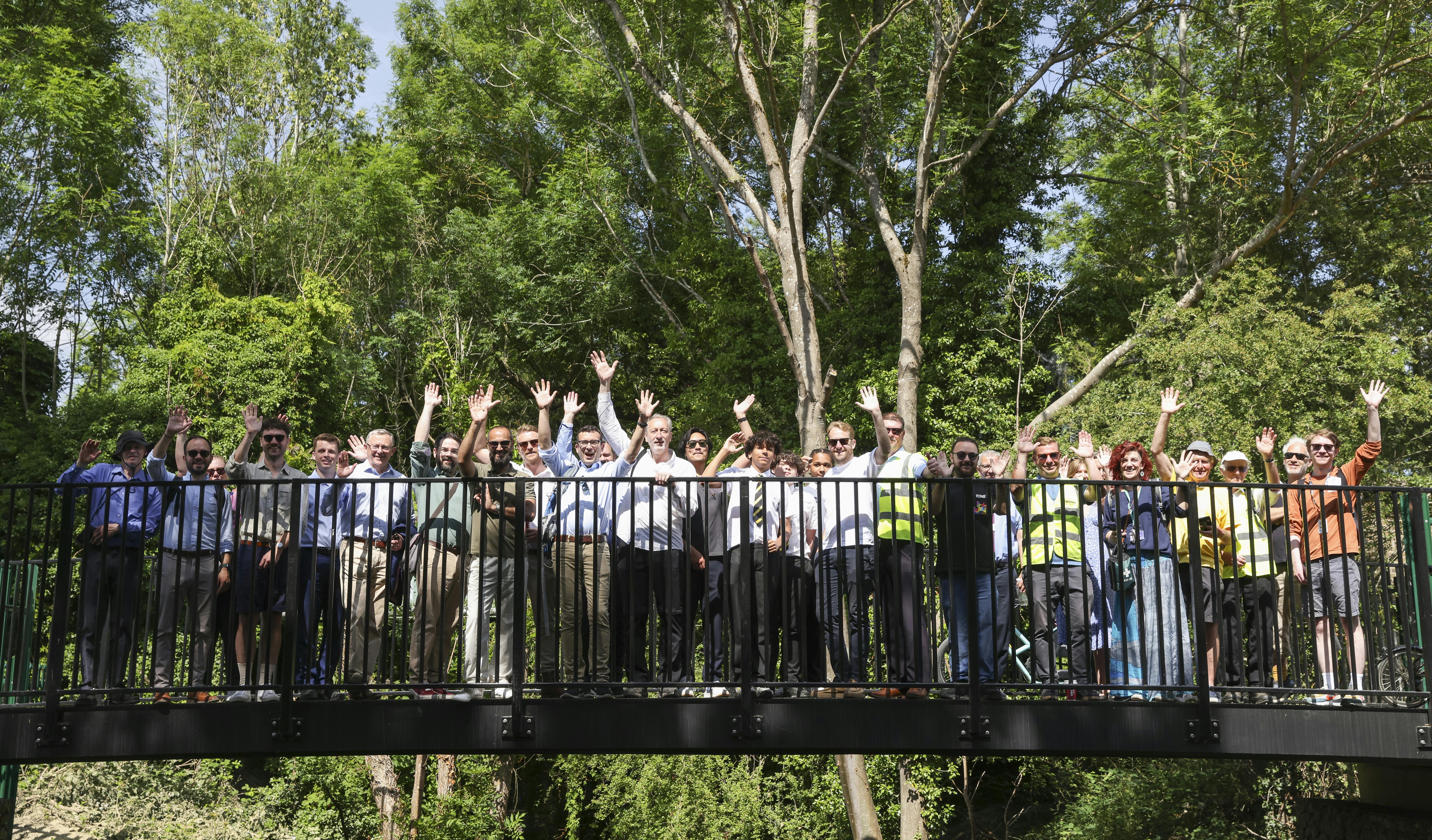
Enfield Town to Broxbourne Walking and Cycling Route

Enfield Council are developing a walking and cycling route which aims to connect the neighbouring boroughs of Enfield and Broxbourne, from Enfield Town Station to Broxbourne. The project is predominantly funded by National Highways as part of the Designated Funds programme.
It is proposed that the Enfield Town to Broxbourne Walking and Cycling Route (within the borders of Enfield) runs from the southern side of the M25 junction with the A10 initially along the New River and eventually on the local highway network towards Enfield Town. Broxbourne Council are also working with Highways England on a related project that extends the route into Broxbourne.
The total length for the section within Enfield is approximately 4.7km. It features the construction of a shared use path running for 2.9km adjacent to the New River, and 1.8km of cycling route using local roads. The on-road section proposals include junction improvements, new crossings, wayfinding, and revised speed limits.
The Enfield section of the Enfield Town to Broxbourne Walking and Cycling Route together with the northern part of the route, which is located in the Borough of Broxbourne, will create an interconnected network for users between the two boroughs. It will also expand the current network of cycle routes within Enfield and provide an opportunity for a potential future East / West connection into the A1010 North major project.
The Enfield section, consisting for the most part of an off-road path, will provide a quiet, safe, and secure route to encourage more active forms of travel. This in turn will bring the benefits of keeping children and adults healthy and fit, reduce motor traffic, and improve air quality. In addition, the proposals for the on-road section will upgrade junctions to accommodate people walking and cycling to provide safer crossings for everyone.
On this project page you can find:
- Key project dates in the Key Dates section on the right-hand side.
- Project updates in the News Feed below.
- A Document Library on the right-hand side which contain key documents.
- A list of Frequently Asked Questions (FAQs) which will be periodically updated.


Who's Listening
-
Enfield Council

Videos
-

-
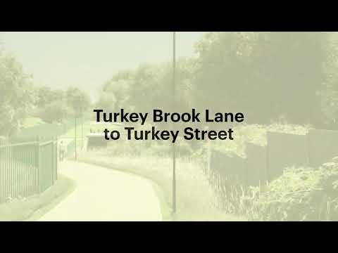 View the fly-through video of the proposed Enfield Town to Broxbourne Walking and Cycling Route. This video is an artist's impression and some design features may not be accurately reflected in this video. This project is subject to funding and approvals.